Geo Spark in relation to Open Data Day
GeoTE Tanzania in collaboration with YouthMappers, is thrilled to present GeoSpark 2025, a one-day event designed to connect YouthMappers students with alumni, faculty, and industry experts.
This event is a key highlight of a five-week Field Practical Training (FPT) program that aims to integrate open geospatial technologies into university curricula, equipping students with valuable geospatial data analysis, mapping, and visualization skills.
Celebrated on Open data Month, GeoSpark 2025 aims to:
- Inspire students to harness open geospatial data for impactful solutions.
- Connect YouthMappers students with alumni, faculty, and industry mentors.
- Promote career exploration within the geospatial field.
- Provide a space for recognition of achievements and ongoing learning.
Join us at GeoSpark 2025 and be part of a community that maps with purpose, innovates for progress, and impacts the world for a sustainable future.
Schedule
Not yet set, it will be updated soon!


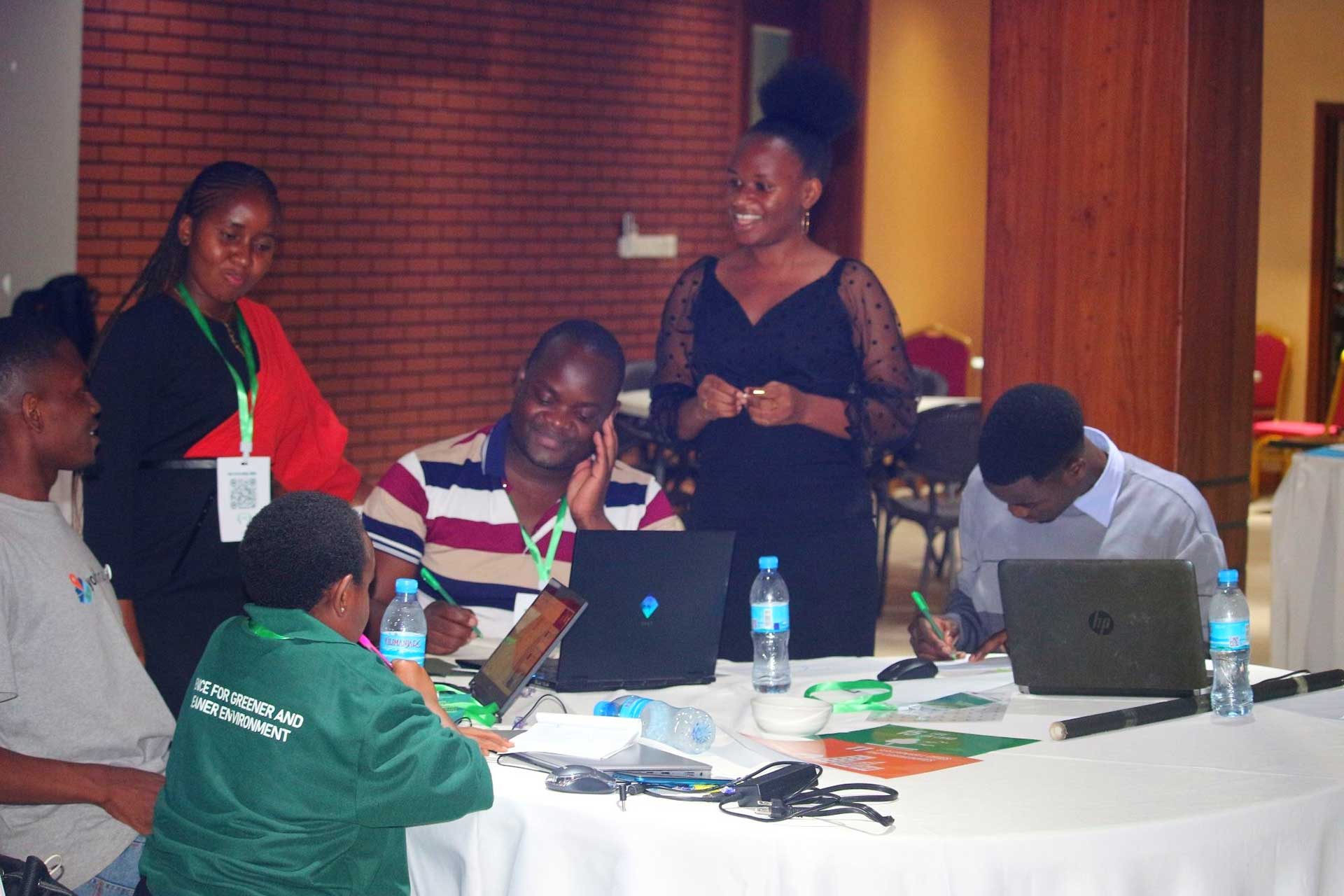
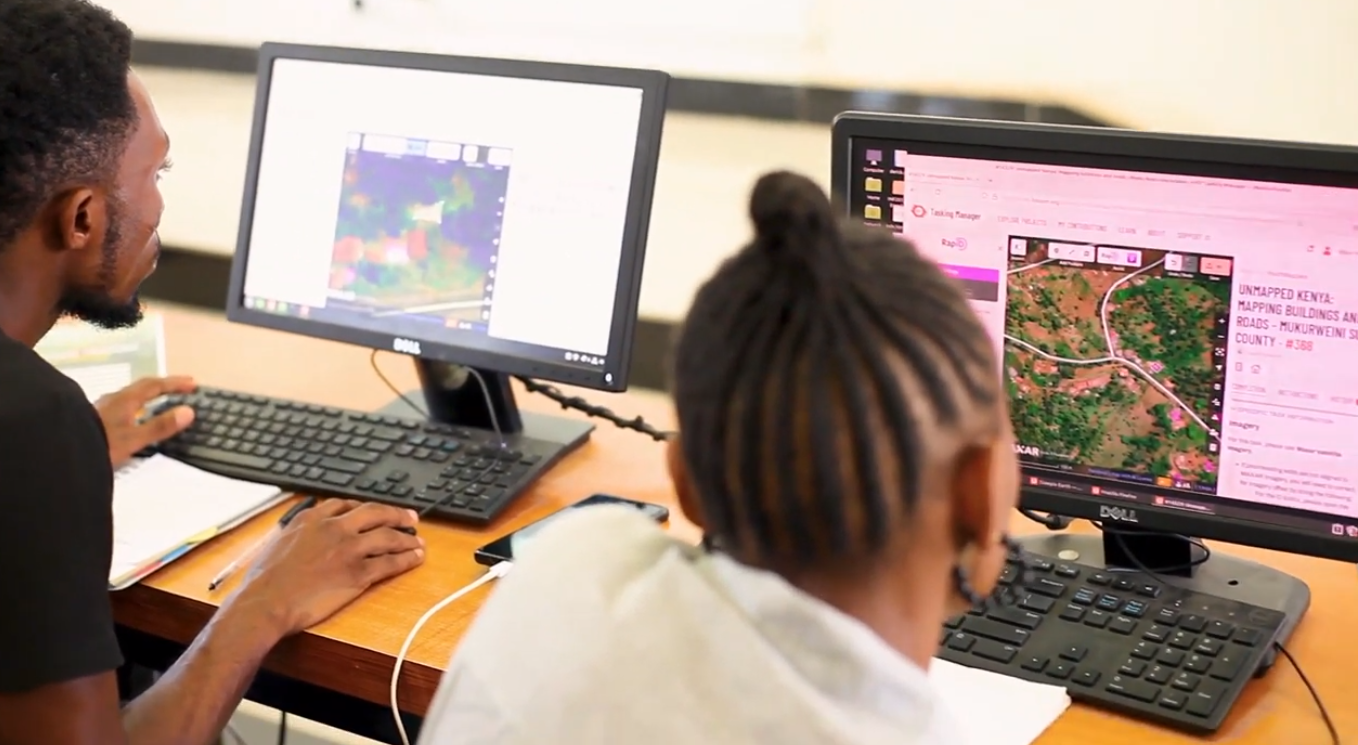
Previous Geo_Sparks
Throwbacks from previous Geospark events that have ignite to where Geospark is today
- All
- 2022
- 2023
- 2024


Contact us
Our Address
Lipangalala Ifakara, Tanzania
Email Us
Programme@geote.org
Call Us
+255 625 502 682